Landscape Architects, Consulting Arborists and Urban Forestry
Trusted by Architects, Engineers, Development Communities and Planning Firms in York-Peel-Simcoe-Muskoka Ontario.
TRUE DESIGN | GROUND BREAKING SUCCESS
Consulting Arborist
Certified ISA Arborist services providing reports, inventories, assessments, appraisals and more. Our consulting arborist services provides solutions for numerous applications.

As consulting arborists, we provide solutions for:
- Tree Inventory / Preservation Study for Development, Minor Variance or Consent Using highly efficient GPS technology, we can capture the location of existing trees on a site and provide an assessment and recommendations for removals or preservation based on the species, current health and the proposed development.
- Peer Review to Assess a Landscape Plan or Arborist Report Rely on our staff of qualified Landscape Architects and Consulting Arborists with over 25 years of experience to provide a peer review on either a landscape plan or arborist report to satisfy municipal requirements.
- Tree Appraisal For Damaged Trees On A Property If a tree was damaged or your neighbour cut down a tree on your property and you want to know the replacement cost, we can provide an appraisal to determine the monetary value of the tree based on its size, health and species.
- Assessing A Tree Because It Doesn't Look Safe If you question the structural soundness of a tree on your property, ensure to have it assessed by our Consulting Arborist to get a professional recommendation on the health of the tree and necessary next steps.
- Butternut Tree Assessment Under The Endangered Species Act As a Certified Butternut Assessor, our staff can accurately identify Butternut trees, which are protected under the Endangered Species Act. We can provide you with the appropriate next steps to move forward with your development.
- Tree Compensation Plan Are you removing trees on your property? Some municipalities require a compensation plan to account for the trees being removed. Our team can recommend site appropriate trees and draft a compensation plan to satisfy the municipalities requirements.

Landscape Architecture
Our team represents over 25 years combined experience in landscape architecture design and are fully licensed Landscape Architects.
As landscape architects, we provide solutions for:
- Landscape Plan or Arborist Report Peer Review Rely on our staff of qualified Landscape Architects and Consulting Arborists with over 25 years of experience to provide a peer review on either a landscape plan or arborist report to satisfy municipal requirements.
- Concept Plans/Renderings for Development Proposals Need help visualizing what your project will look like after completion? Using top of the line software, we can draft up rendered plans and 3-dimensional images to accurately represent the proposed design.
- Stormwater Management We can provide functioning and efficient stormwater management pond planting designs based on our years of experience and knowledge. We will provide a planting plan that includes suitable plant material, soil, seed and sod specifications and necessary details to meet the municipalities and conservation authority requirements.
- Stamped Landscape Plan For Municipal Requirements We can provide you with a high-quality landscape design package that meets municipal requirements and standards and includes, but not limited to; planting plans, site furniture, material specifications and construction details.
- Edge Management Plans Edge management plans are required by municipalities and conservation authorities when trees are removed along a forest edge. By planting additional trees or shrubs, it helps to reduce any negative effects from the removals and promotes natural rehabilitation.
Urban Forestry
Our team works with municipalities to manage urban trees and forestry to reduce any damage done to infrastructure (such as sidewalks and roads) and prevent the spread of invasive species.
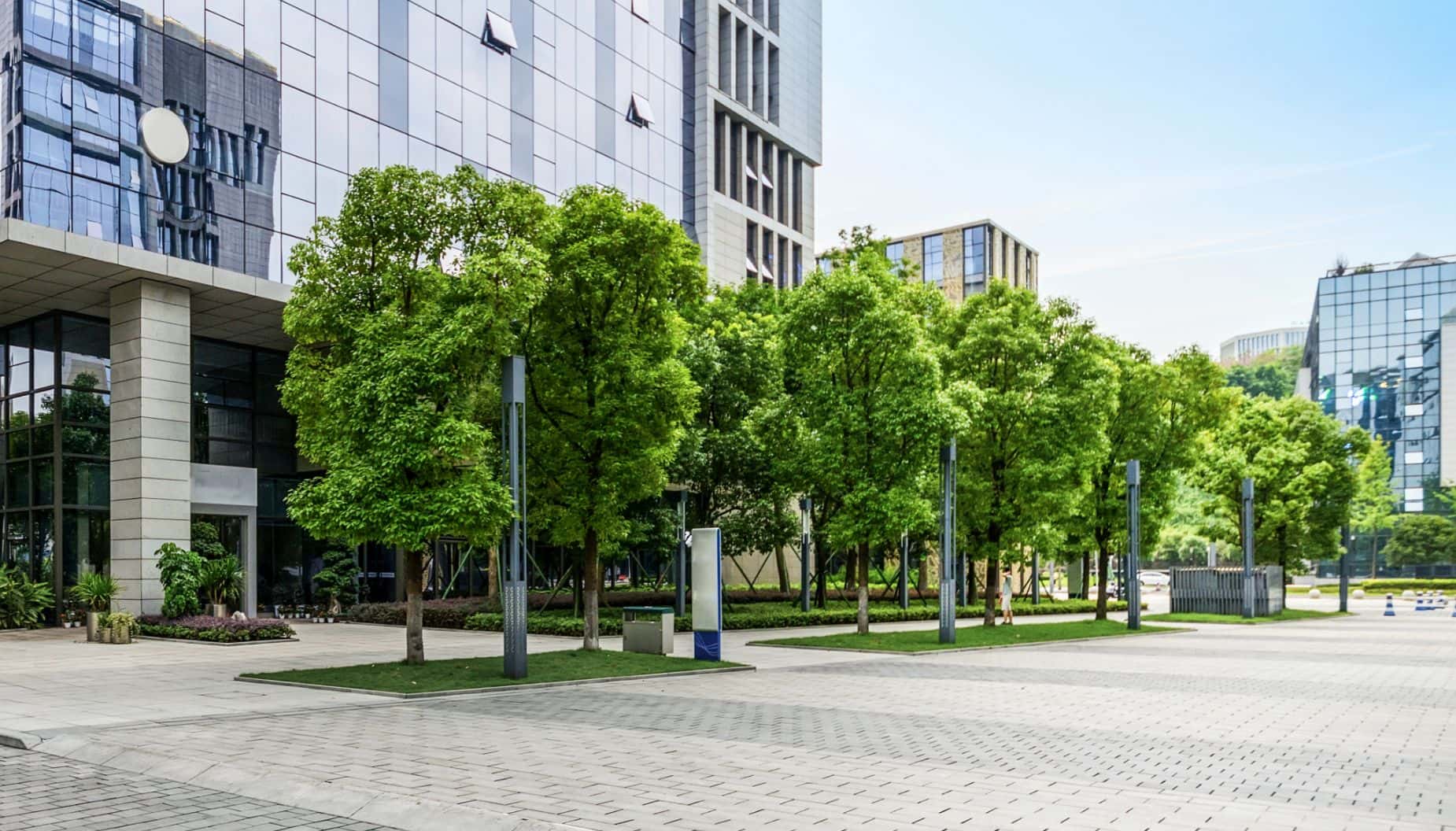
As urban forestry consultants, we provide solutions for:
- Stand Delineation & Forest Interpretation Inventories Landmark Environmental Group can identify and map different forest types, tree stands, field surveys to gather data on the characteristics of the trees and vegetation in the area. Species composition features include species, age, size, and growth rate. Using this data, we create detailed maps and reports that show the health and structural assessments, boundaries of different forest stands and provide information about the species and age classes present in each stand.
- Butternut Compensation Planting Plans and Planting Plans MonitoringAs a Certified Butternut Assessor, our staff can accurately identify Butternut trees, which are protected under the Endangered Species Act. We can provide you with the appropriate next steps to move forward with your development.
- Geographic Information Systems Using GIS we can analyze, manage, and visualize complex tree data sets and make informed decisions about the management of wood stand resources, providing a greater understanding and analysis of the geographical context in which forests are located.
- Ground Penetrating Radar Landmark Environmental Group use GPR to gather information about the subsurface of a forested area to map out tree roots in a non-destructive way, imaging the subsurface using radar waves to penetrate the ground and detect variations in the root breadth/depth and soil and rock layers.
- Edge Management Plans Edge management plans are required by municipalities and conservation authorities when trees are removed along a forest edge. By planting additional trees or shrubs, it helps to reduce any negative effects from the removals and promotes natural rehabilitation.


Ground Penetrating RadarTree Root Mapping & Tree Trunk Scanning
Using the best in ground penetrating radar (GPR) technology, we’re able to produce the most accurate tree trunk & root assessments in Toronto, Simcoe County, Muskoka and surrounding areas.
We provide GPR & Tree Trunk Scanning solutions for:
- Mapping Tree Roots for Development Planning Utilize GPR to map the intricate web of tree roots, enabling urban planners and developers to identify developable areas without harming existing greenery. This technology ensures that new constructions, such as building footprints, can be strategically placed to avoid damaging vital root systems within a tree’s dripline, in which can aid in the approval process and in preserving urban canopies.
- Assessing Tree Structural Health Combined with risk assessments, GPR trunk scans provide invaluable insights into the internal health of trees. Identifying cavities or decayed areas helps in predicting potential tree failures, ensuring public safety and preserving urban green spaces.
- Guiding Environmental Conservation Efforts In residential and municipal settings, GPR facilitates the conservation of mature trees by informing construction practices and urban planning. This approach promotes a harmonious balance between development and environmental stewardship.
- Enhancing Green Infrastructure Management By mapping root systems and assessing tree health, GPR supports the management and maintenance of green infrastructure, contributing to more resilient and sustainable urban environments.
- Determining Boundary Trees Below the Soil Line GPR can accurately locate the extent of tree roots across property lines, identifying boundary trees and trees that are on someone else’s property. This capability is crucial for resolving disputes and planning construction in densely populated areas.
- Root Pruning and Tree Management By providing a clear image of root structures, GPR aids in determining the extents for safe root pruning. This ensures the health and stability of trees during construction or landscaping activities, minimizing impact on the tree’s structural integrity.
- Expert Opinion and Peer Reviews The detailed data obtained from GPR scans can form the basis for expert opinions in court cases or peer-reviewed studies, especially in disputes over property damage or development impacts on natural assets.
- Municipal Infrastructure Planning GPR assists municipalities in planning and implementing new infrastructure projects, such as water mains or sewer lines, by identifying potential conflicts with private tree roots in older urban areas. This foresight can prevent costly repairs and tree damage.
We are Landmark Environmental Group
Landmark Environmental Group Ltd was established in early 2006 but is a culmination of over 25 years of integrated experience in landscape architecture, arboriculture, and land use planning.

Recent Projects
Let’s Work Together!
We would love to discuss your future projects and any other inquires. Please fill out the form and a member of our team will get in touch to set up an appointment!



















![2560px-Georgian_College_logo.svg[1]](https://legroupltd.com/wp-content/uploads/2023/06/2560px-Georgian_College_logo.svg1_.png)